

Polar Vortex Fluctuation Brought Snow Drought for Winter 2020
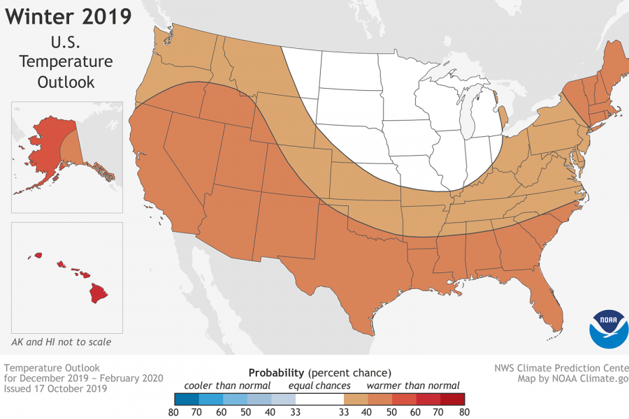
This weather map shows how the January temperatures were warmer than usual, resulting in a snow drought.
As summer approaches, warm weather becomes the norm. Warm weather can be expected now, but back in January and February, the warm weather was definitely out of character. Climatological data from the winter of 2019 – 2020 tells an unusual story.
Last winter, Washington D.C. recorded one of its warmest winters on record. Temperatures were multiple degrees above average, and snowfall totaled only 0.6 inches, making it the third-least snowy winter in this area, according to The Washington Post.
In fact, the last accumulated snowfall of the winter season took place on January 19, 2020, the time when Washington should be receiving most of its yearly snowfall, also according to The Washington Post.
Washington, D.C. wasn’t the only place affected by this “snow draught.” Much of the East Coast of the U.S., including Philadelphia, which received only 0.3 inches of snow, and New York City, which got 4.8 inches, also felt the effects, according to The Weather Channel.
Similar occurrences even happened internationally last winter, where parts of Finland received nearly no snowfall in January 2020, according to another article by The Washington Post. Another snow drought also occurred in Japan, according to Bloomberg.
“This weather pattern took everyone by surprise. We were calling for snowfall slightly below the average of 15.4 inches, but never guessed less than an inch would fall,” said Jason Samenow, chief meteorologist at the Capital Weather Gang, which serves as the weather news provider of The Washington Post.
So why was the winter of 2020 so extreme in terms of warm temperatures and low amounts of snowfall? To understand this, it is important to look at the factors that influence weather across North America, including the United States. According to NOAA, the National Oceanic and Atmospheric Administration, winter weather across the United States is influenced by many different factors, such as ocean water temperatures and atmospheric circulation patterns.
The Arctic Oscillation (also referred to as the AO or the Polar Vortex) is one of the atmospheric circulation patterns that influence weather across North America. The AO circulates air over the Northernmost part of the globe. The AO has phases, and different phases can alter the storm paths and weather patterns across the U.S.
Depending on the phase, the jet stream shifts. This year, it “lifted” northward more than usual. This lift means storms passed northward compared to their usual paths, and it became harder for cold air outbreaks to flow southward from the Arctic.
However, the AO phase is not the only factor determining winter weather. There are several other oceanic and atmospheric patterns, namely the “El Nino” or “La Nina,” and the North Atlantic Oscillation, another atmospheric pattern. The variety of weather-influencing patterns means there is a potential for one weather pattern to influence the outcome of another. This past winter, however, the AO pattern turned out to be the dominant one.
Climatological data collected this year shows that the AO hit record high levels. The AO index naturally and commonly fluctuates from about -1 to +1. When the index goes above or below that range, it indicates a particularly strong or unusual situation. This winter, the AO average was a staggering +1.82, which is considered extremely high. The AO has not been that high for nearly 30 years.
Monthly data is even more shocking, with the index for February 2020 averaging +2.83, a high never previously recorded. AO indexes have been collected ever since 1950.
“The weather pattern over the Arctic was hostile to snowfall over most of the eastern U.S. The polar vortex, the zone of frigid air around the Arctic, was near record-strength and remained undisturbed for a large part of the winter. This phenomenon kept most of the cold air bottled up to our north. Instead of snow, we usually saw rain when storm systems passed through,” said Samenow.
Winter 2020 has unquestionably been an outlier in terms of weather, but what does it show for the winters to come? Is Global Warming starting to take control of our winters? Or is this part of a normal climate pattern that can occur naturally?
It may be a combination, according to Samenow. He indicated that although this warm, snowless winter was not normal in terms of climatological data, it is still possible, although very uncommon, for occasional winters with very low amounts of snow and much warmer than average temperatures to occur. In other words, the Arctic Oscillation can get this strong naturally. Still, this event is very rare by itself.
As for the short term, at least short compared to the next few decades, hopefully, there’ll be more of the snow and cold next year, so that winter actually feels like winter.